Creating accurate and detailed terrain models is an essential part of many architectural and civil engineering projects. Autocad, a widely-used computer-aided design (CAD) software, offers powerful tools to generate terrains from point data. In this blog post, we will explore the process of creating terrain models from points in Autocad, step by step.
1. Importing Point Data
The first step in creating a terrain in Autocad is to import the point data. Autocad supports various file formats, such as CSV or TXT, which contain the coordinates and elevations of the points. To import the data, simply go to the “Insert” tab and select “Point Cloud.” Choose the appropriate file and Autocad will import the points into your project.
2. Creating a Surface
Once the point data is imported, the next step is to create a surface. In Autocad, surfaces are used to represent terrain, and they can be generated from points. To create a surface, go to the “Home” tab and click on “Create Surface.” Select the imported point cloud as the source data, define the surface properties, and Autocad will generate the initial surface.
3. Editing the Surface
After creating the initial surface, you may need to edit it to match your project requirements. Autocad provides various tools to modify the surface, such as adding or removing points, adjusting elevations, or smoothing the terrain. These tools can be found in the “Modify” tab, allowing you to precisely sculpt the terrain model according to your design needs.
4. Adding Contours
Contour lines are essential for representing the surface characteristics and slopes of a terrain. Autocad enables you to generate contour lines from the created surface. To add contour lines, navigate to the “Analyze” tab and select “Surface Properties.” In the dialogue box, choose the desired contour interval, and Autocad will generate the contour lines automatically.
5. Applying Materials and Textures
To enhance the visual representation of the terrain, you can apply materials and textures to the surface. Autocad offers a variety of materials and textures to choose from, allowing you to simulate different ground types like grass, sand, or rock. By applying these elements, you can create a more realistic and visually appealing terrain model.
6. Exporting and Sharing
Once your terrain model is complete, you can export it from Autocad to share with others or use it in other software. Autocad supports various file formats for exporting terrains, such as DWG or OBJ. Additionally, you can also create renderings or animations to showcase your terrain model’s features and details.
Conclusion
Creating terrain models from points in Autocad offers architects and engineers a powerful toolset to accurately represent the natural topography of their projects. By following the steps outlined in this blog post, you can effortlessly generate detailed terrains, add contours, apply materials, and share your creations with others. Autocad’s terrain creation features make it an invaluable asset for any design professional.
Leave a Comment
We hope you found this blog post helpful in understanding how to create terrains from points in Autocad. If you have any questions or want to share your experiences, feel free to leave a comment below. We’d love to hear from you!
Export Points From Autocad To Csv
Export Points From Autocad To Csv Introduction AutoCAD is a powerful computer-aided design (CAD) software widely used in various industries for creating precise detailed drawings and models. One of the common tasks in AutoCAD is exporting points to a CSV (Comma-Separated Values) file. This allows us – drawspaces.com

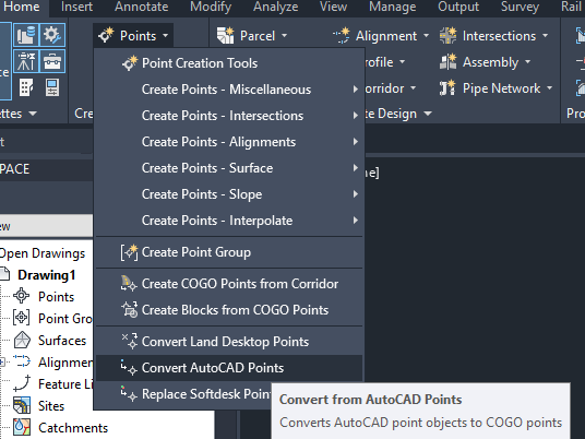
How to create a Civil 3D surface from AutoCAD points
Oct 8, 2023 … How to create a surface in Civil 3D based on AutoCAD points. Civil 3D requires COGO points for the surface creation. In order to create a … – www.autodesk.com
How To Copy Poit Id And Points From Autocad To Excel Using Lisp Cmmand Coorn
How To Copy Point IDs and Points from AutoCAD to Excel Using Lisp Command Coorn AutoCAD is a powerful software widely used in the architecture engineering and construction industries for creating precise drawings. However when it comes to transferring data from AutoCAD to other applications like Exc – drawspaces.com
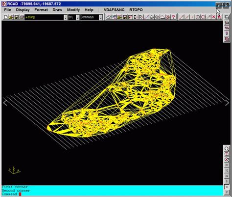
Autocad Topography From Points
Autocad Topography From Points In the realm of architectural design and civil engineering AutoCAD has become an indispensable tool for professionals. With its vast array of features and capabilities AutoCAD allows users to create detailed and accurate designs. One such feature that stands out is the – drawspaces.com
How To Block Autocad From Accessing The Internet Windows 10
How To Block AutoCAD From Accessing The Internet Windows 10 AutoCAD is a powerful software used by professionals in various industries for creating precise 2D and 3D designs. However there may be instances when you prefer to block AutoCAD from accessing the internet on your Windows 10 system. Whethe – drawspaces.com

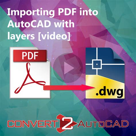
Import And Convert Text From A Pdf In Autocad
Import And Convert Text From A PDF In AutoCAD AutoCAD is a powerful software tool widely used in engineering architecture and design industries. It offers numerous features that streamline the process of creating technical drawings and designs. In this blog post we will explore the process of import – drawspaces.com
How to Create Surface from Points and Contours – Plex-Earth …
Dec 20, 2023 … … elevation points or contour lines, to create surface models in your AutoCAD. Below the necessary steps are presented on how to create … – support.plexearth.com

How to make topography from points – SketchUp – SketchUp …
Aug 17, 2018 … Hello, I received a cad survey of a property with points all over the place. Each point has its height based on sea level written beside it. – forums.sketchup.com

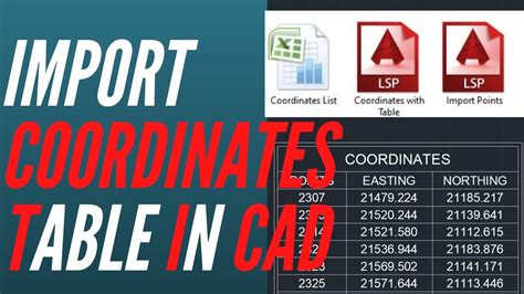
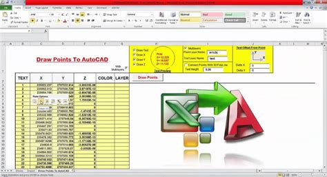
How To Extract Coordinates From Autocad To Excel
How To Extract Coordinates From AutoCAD To Excel: Simplified Guide Introduction (Word Count: 200 words) Extracting coordinates from AutoCAD to Excel is a crucial skill for professionals working in architecture engineering and construction fields. By seamlessly transferring data between these two pow – drawspaces.com
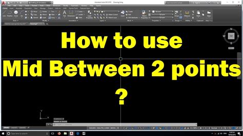
Autocad Mid Between Two Points
AutoCAD Mid Between Two Points: Exploring the Power of Precision AutoCAD the leading computer-aided design (CAD) software has revolutionized the way architects engineers and designers create intricate and accurate 2D and 3D models. One of the many powerful features of AutoCAD is the ability to find – drawspaces.com
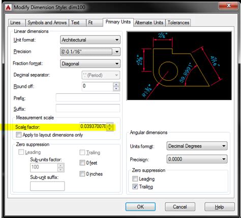
Autocad From Inches To Mm
Autocad From Inches To Mm: Bridging the Gap in Measurement Precision In the world of computer-aided design (CAD) Autocad stands as one of the most prominent and widely used software applications. With its vast array of tools and features Autocad empowers designers and engineers to create intricate d – drawspaces.com
Extracting Data From Autocad To Excel
Extracting Data From AutoCAD to Excel Introduction AutoCAD is a powerful software tool used by architects engineers and designers to create detailed drawings and models. However once the drawings are complete it is often necessary to extract specific data from the AutoCAD files to perform calculatio – drawspaces.com

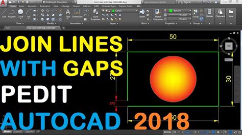
Autocad Join Objects Discarded From Operation
Welcome to our blog post on Autocad’s “Join” operation and how it can sometimes discard objects. Autocad is a widely used software in the architecture engineering and construction industries known for its powerful drafting and design capabilities. However it’s important to understand the potential p – drawspaces.com